Baguley Brook
Baguley Brook is a body of water in Baguley, Manchester. It starts at the south-east, near to Martinscroft Tram Stop and runs to the north-west, through Wythenshawe Park and across Brooklands Road until it meets with Fairywell Brook to become Sinderland Brook (running into Timperley).
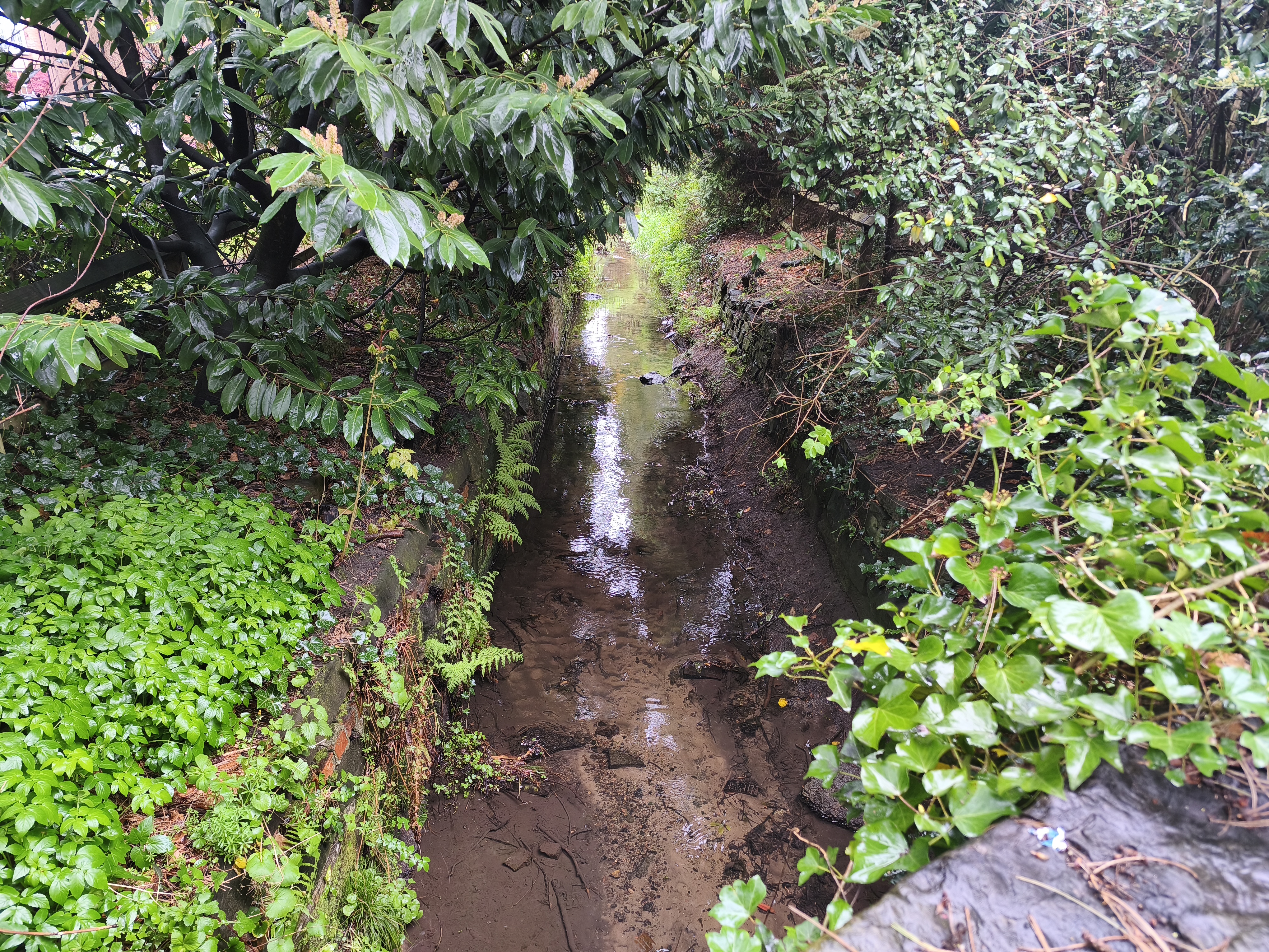
As a 'watercourse', the owners of the land that Baguley Brook runs through (known as the riparian landowners) are individually responsible for maintaining the brook and ensuring it doesn't become blocked or polluted. The Environment Agency does not have any responsibility as they typically maintain larger water bodies such as rivers.
History
Baguley Brook is seen running freely through the Baguley area as early as about 1839,[1] but it certainly existed long before this.
While the brook was essentially uninterrupted in the early 1800s, in modern-day the urbanisation of Baguley has resulted in the brook being heavily modified and adapted, often running underneath residential streets.
Baguley Brook is known to have overflowed in 1958 and in 1972. Residences were flooded and thousands of pounds of damage occurred.[2] It also overflowed in July 1964, specifically flooding Swayland Drive.[3]